Stories in History
WW1- Pre and Post War Mapping
WW1- Pre and Post War Mapping
Couldn't load pickup availability
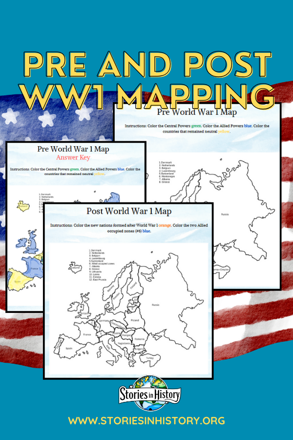
Two World War 1 maps to color with the answer keys provided.
Pre World War One (WW1) map will show the countries that existed at that time. Students will color them based on their alliance- either part of the Central Powers, Allied Powers, or neutral. All country names are labeled.
Post World War One (WW1) map will show the new countries or territories created after the war was over. Students will color the brand-new countries so they can see how the country's boundaries changed. All country names are labeled.
This is a simple mapping activity that will help your students visualize the effects of World War 1. Great geography and history lesson in one.
These worksheets work for 5th-12th grade. Can be use in the classroom or homeschool.
This is a single worksheet from our Stories in History- Modern American History full year curriculum. Check out all of our Modern American History worksheets and full year curriculum here.
Share

